 1 hour ago
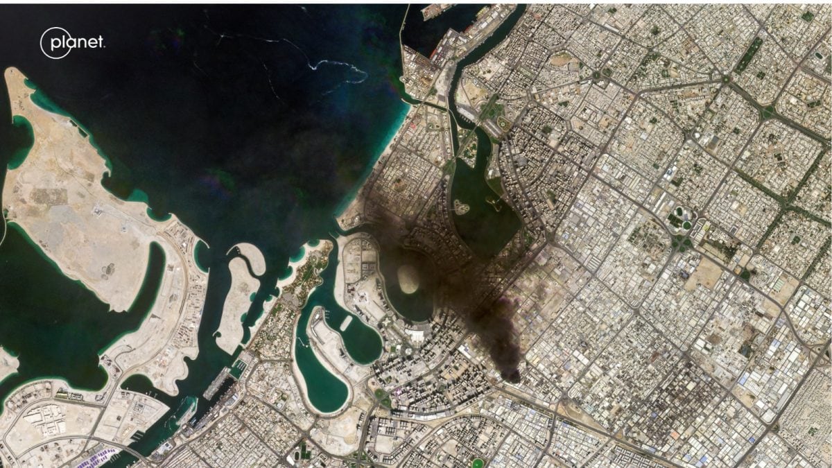
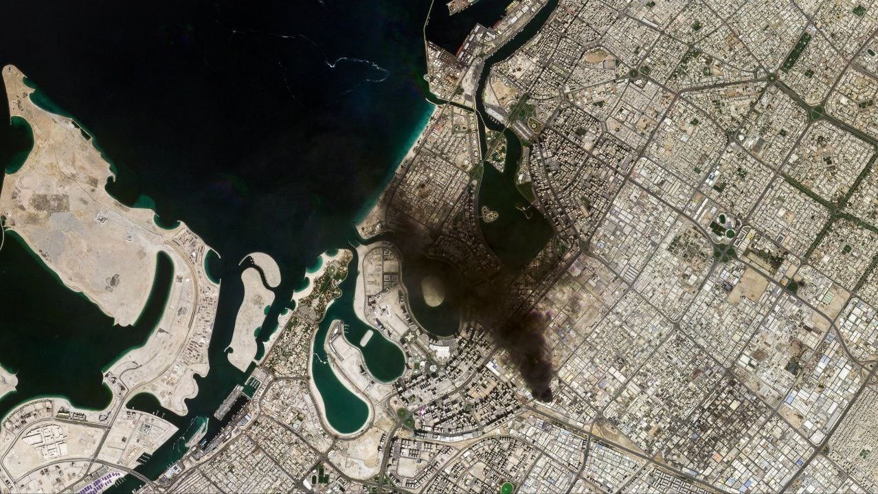
Fresh satellite imagery shows visible damage to air, drone and naval facilities near Iran's Konarak region amid escalating regional tensions. The visuals offer independently verifiable evidence of infrastructure impact as regional hostilities continue to widen.
")
A satellite view shows an overview of Fordow underground complex, after the US struck the underground nuclear facility in Iran. (Photo: Reuters)

New Delhi,UPDATED: Mar 2, 2026 09:59 IST
Newly released commercial satellite imagery appears to show extensive damage at multiple Iranian military installations, including air, drone and naval facilities near the strategic port region of Konarak, following the latest round of strikes amid the escalating Israel–Iran conflict.
The images, analysed by India Today's open-source intelligence (OSINT) team indicate precision strikes targeting hardened military infrastructure located along the Gulf of Oman.
AIRCRAFT SHELTERS SHOW VISIBLE IMPACT MARKS
Satellite frames of Konarak Airbase show several hardened aircraft shelters with dark burn marks and apparent structural damage on rooftops and surrounding surfaces. Parts of adjoining operational areas also appear affected, while runway sections remain largely visible in the imagery.
The shelters are typically used to house or protect military aircraft, though officials have not publicly released an assessment of losses or operational impact.
BUILDINGS DAMAGED AT DRONE FACILITY
Imagery from a nearby drone-related installation shows collapsed structures and debris scattered across a compound situated close to an airstrip. Multiple buildings within the marked zone appear heavily damaged compared to earlier satellite references.
STORAGE AREAS AND BUNKERS AFFECTED
Additional satellite visuals indicate damage to what analysts identify as fortified storage positions, with visible impact points and disturbed ground patterns inside protected enclosures.
The images show sections of bunker-like structures appearing partially destroyed, although their specific function has not been independently confirmed.
DAMAGE VISIBLE AT COASTAL NAVAL SITE
Satellite photographs of Konarak’s coastal military complex show destruction to several waterfront buildings and infrastructure near docking areas. At least two vessels visible in the harbour appear damaged or partially submerged in comparison with earlier imagery shared online.
CONFLICT TRACKED THROUGH COMMERCIAL SATELLITES
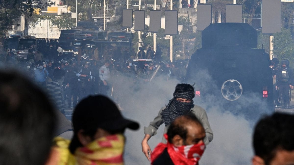
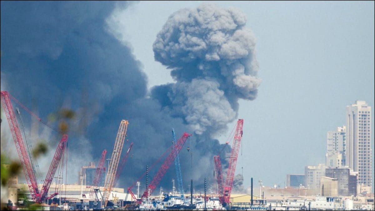
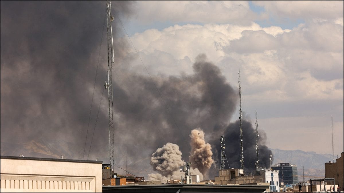
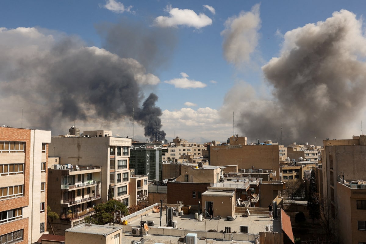
The fresh satellite imagery has emerged as fighting between Iran and its adversaries intensifies following large-scale strikes carried out by the United States and Israel across Iranian territory on Sunday, targeting military infrastructure including ballistic missile sites and naval assets.
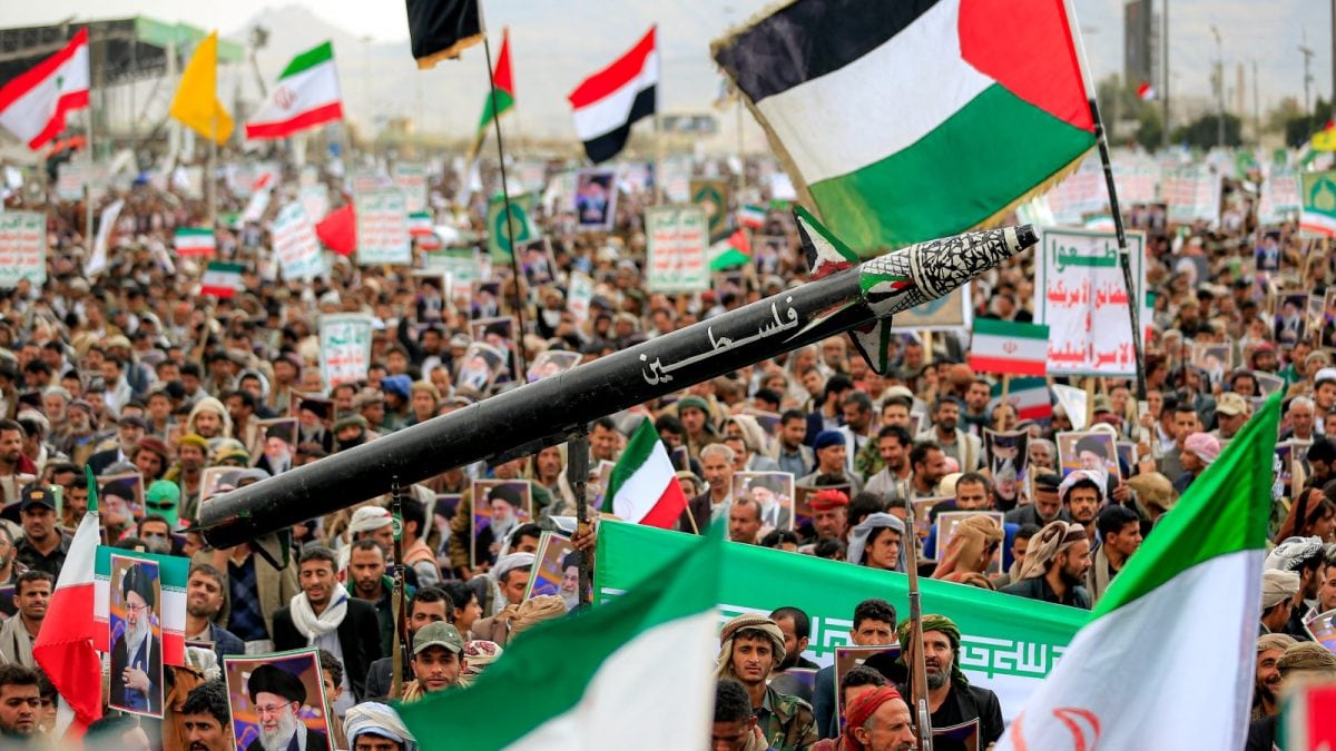
Explosions were reported in multiple cities, including Tehran, with Iranian officials stating that more than 200 people have been killed since the start of the attacks. The conflict has since widened beyond direct exchanges, with Lebanon-based Hezbollah claiming strikes on Israel and retaliatory fire reported across the region, raising fears of a broader West Asian confrontation.
Iran has vowed retaliation and launched missile attacks targeting Israel and parts of the Gulf region, while international actors – including European countries – signalled support efforts aimed at preventing further escalation.
- Ends
Published By:
Priyanka Kumari
Published On:
Mar 2, 2026 09:58 IST