Last Updated:March 08, 2026, 18:43 IST
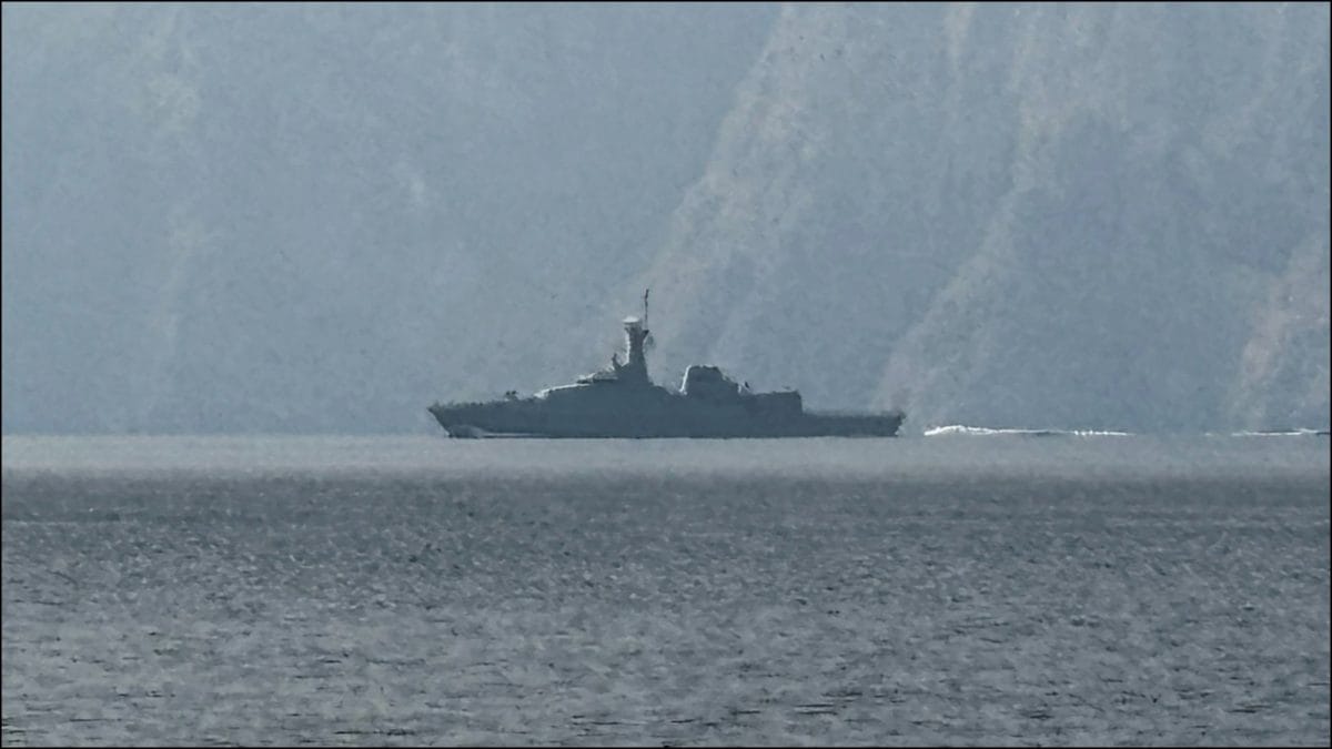
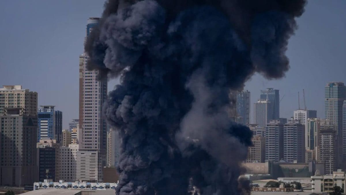
US-Israeli strikes caused GPS jamming, leaving 1,000 ships in the Gulf and Gulf of Oman unable to locate themselves. Half the vessels off UAE and Oman are affected.
![]()
![]()
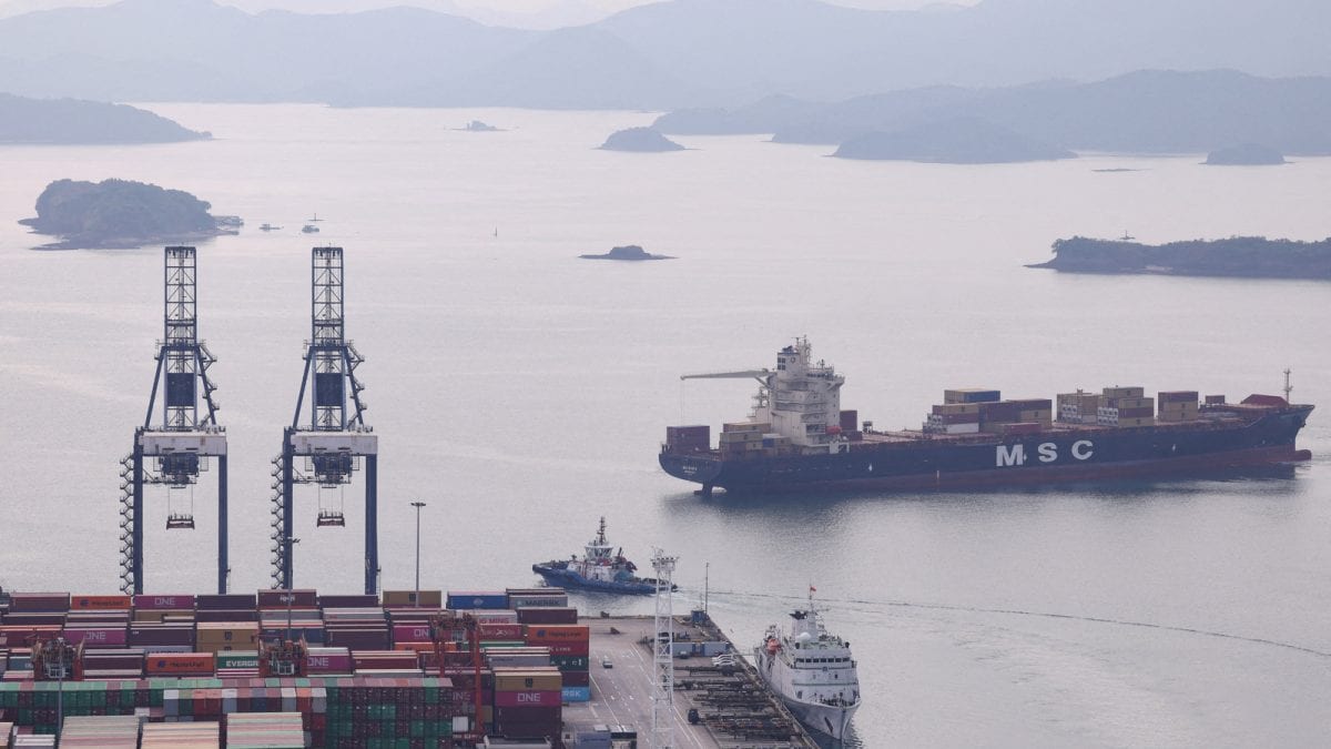
Cargo ships wait to enter the Panama Canal in Panama City on February 28, 2026. (AFP photo)
Widespread GPS jamming has left over 1,000 cargo ships, oil tankers and other vessels in the Gulf and Gulf of Oman unable to determine their exact location since the start of US‑Israeli-Iran war last week.
Experts say the problem is worse than many realise, with most ships relying on outdated GPS systems that cannot tap into modern satellite networks like Galileo or BeiDou.
The majority of affected vessels are located off the coasts of the United Arab Emirates (UAE) and Oman, raising concerns about navigation safety in one of the world’s busiest maritime regions.
ALSO READ: 37 Indian-Flagged Ships With Over 1,100 Seafarers Stranded Near Hormuz Amid West Asia Tensions
Outdated Systems
Many ships still depend on the original civilian GPS signal, known as the L1 C/A band, which has been in use since the 1990s.
“Most ships are unable to rely on alternative satellite systems in the event that GPS is jammed," Todd Humphreys, an engineering professor at the University of Texas at Austin, told news agency AFP.
Unlike smartphones, which use multiple frequencies and satellite networks, ships’ navigation systems are relatively basic, leaving them vulnerable to signal interference.
“You will not find any aircraft flying in the world today whose built-in GPS receiver is capable of tracking and interpreting signals other than the GPS L1 C/A. So it’s out of date by 15 years," Humphreys added.
Jamming a GPS signal is “not that complicated," according to Katherine Dunn, author of Little Blue Dot. A stronger radio signal on the same frequency can effectively create a “wall of mush," disrupting navigation.
More sophisticated spoofing techniques can manipulate a ship’s Automatic Identification System (AIS), making vessels appear in false locations on tracking maps, sometimes even on land.
ALSO READ: Hormuz Chaos: Ships In Gulf Pose As Chinese Vessels To Dodge Iranian Attacks
Operational Challenges
Beyond location, GPS signals are used to power onboard clocks, radar and speed logs. Without them, crews must revert to older instruments, such as radar or visual landmarks, to navigate safely.
“Given the size of the ships, electronic assistance has become necessary to steer them," said a merchant marine captain who spoke to AFP on condition of anonymity.
Defensive jamming by Gulf states aimed at protecting their own shores from drone attacks has also contributed to the disruption, mirroring tactics previously used by Israel and Iran.
Latest Developments From Hormuz
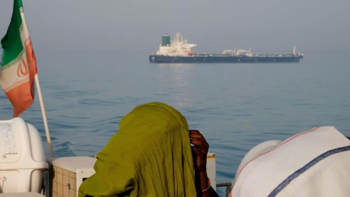
The Strait of Hormuz, a vital shipping lane for nearly 20% of the world’s crude oil and LNG, has been severely affected. Since last Sunday, only nine tankers, cargo, and container ships have passed through the chokepoint, following attacks on three vessels.
There have also been numerous attacks on ships navigating the Strait of Hormuz since the US-Israeli war on Iran started on February 28.
The narrow waterway between Iran and Oman links the Persian Gulf to the Arabian Sea and remains a strategic corridor for global energy supplies. The war has effectively shut down normal traffic, raising concerns over energy markets and maritime safety in the region.
(With inputs from agencies)
First Published:
March 08, 2026, 18:36 IST
News world Why Thousands Of Cargo Ships In Gulf Are Facing GPS Disruptions Amid West Asia War | Explained
Disclaimer: Comments reflect users’ views, not News18’s. Please keep discussions respectful and constructive. Abusive, defamatory, or illegal comments will be removed. News18 may disable any comment at its discretion. By posting, you agree to our Terms of Use and Privacy Policy.
Read More