Last Updated:March 09, 2026, 20:09 IST
MizarVision has been publishing near real-time, high-resolution satellite imagery of US military assets in West Asia – from deployment of jets to warships – on social media
![]()
![]()
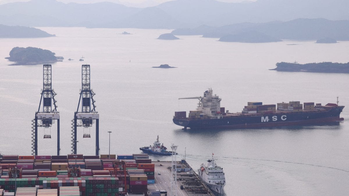
MizarVision is a Chinese AI-based startup, which publishes high-resolution satellite images; (right) Imagery showing three USS Abraham Lincoln Osprey carrier-based transport aircraft. (Image: MizarVision/X/website)
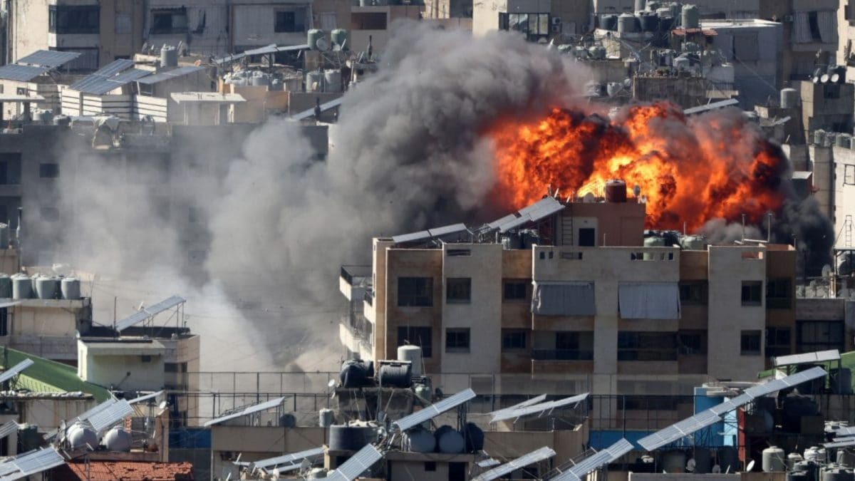
“Eye in the sky" has a whole new meaning in the ongoing conflict between Iran and US-Israel. In a war-sensitive situation such as this, what happens when high-resolution satellite images are used to trump military advantage?
In this high-stakes theatre of the West Asia crisis, is there possibly a new entrant that is contributing to how this war is unfolding?
MizarVision, a Chinese artificial intelligence startup with fewer than 200 employees in Hangzhou and Shanghai, claims to have published near real-time, high-resolution satellite imagery of significant American military assets in the region – from deployment of US jets to warships – and all of it on social media. These images give you a look at precise coordinates of F-22 stealth fighters to the exact deck configurations of nuclear-powered aircraft carriers.
Follow US-Israel-Iran War News LIVE Updates Here
According to experts and analysts, MizarVision’s output seems to have practically eliminated the traditional veil of secrecy, even though the firm argues that its images are only for commercial use. By monitoring American deployments against Iran via AI enhancement, it has transformed what was once “open-source" imagery into high-grade, actionable military intelligence.
They said the firm’s capability may allow regional powers and even non-state actors – such as the Islamic Revolutionary Guard Corps (IRGC) – to access sophisticated targeting data directly via social media platforms like Weibo and X. This could signal a new era where orbital surveillance and automated analysis make hidden military buildups nearly impossible.
“A Chinese AI startup called MizarVision is publishing high-resolution satellite imagery of every US military base, every carrier strike group, every F-22 deployment, every THAAD battery, and every Patriot missile position in the Middle East. Labelled. Geolocated. AI-annotated. Updated in near-realtime. Shared by PLA-linked accounts and Chinese state media to an audience of billions," said analyst and researcher Shanaka Anslem Perera on X.
BREAKING: A Chinese AI startup called MizarVision is publishing high-resolution satellite imagery of every US military base, every carrier strike group, every F-22 deployment, every THAAD battery, and every Patriot missile position in the Middle East. Labelled. Geolocated.… pic.twitter.com/sG6ReaPzzA— Shanaka Anslem Perera ⚡ (@shanaka86) March 9, 2026
WHAT DOES MIZARVISION DO?
MizarVision does not operate its own satellites, but its power lies in how it handles satellite imagery. Called AI processing layer, this technology converts terabytes of raw imagery from both Chinese and western commercial providers into labelled, searchable intelligence products at a scale previously reserved for national agencies.
The firm’s AI models are capable of automated target recognition, distinguishing between specific aircraft types such as the KC-135 Stratotanker and the KC-46 Pegasus from orbit. An analysis on social media platform X noted that these models can label every airframe on a ramp “before an analyst finishes their coffee".
Perera, in a post on X, said MizarVision began releasing images showing US aircraft transfers to Ovda Air Base in Israel and naval buildups in the Arabian Sea on February 20. By March 1, the imagery expanded to include Jordan, Kuwait, Bahrain, and the UAE, cataloguing approximately 2,500 individual US military assets. Each image featured “red boxes" identifying aircraft and air defence configurations, such as distinguishing between THAAD and Patriot missile batteries.
First Published:
March 09, 2026, 19:51 IST
News world Who's Tracking US Moves In Iran? Chinese AI Firm Publishes Satellite Images Of Military Assets
Disclaimer: Comments reflect users’ views, not News18’s. Please keep discussions respectful and constructive. Abusive, defamatory, or illegal comments will be removed. News18 may disable any comment at its discretion. By posting, you agree to our Terms of Use and Privacy Policy.
Read More